

Drainage & Easement Surveys
Ozland Survey provides detailed drainage and easement surveying services for local councils, civil and drainage engineers, infrastructure designers and property development projects throughout Victoria.
Our surveys focus on identifying and documenting existing stormwater drainage infrastructure, underground pipe networks, drainage easements and surrounding site conditions. We provide accurate survey information to support drainage investigations, engineering design, pipeline upgrades and new stormwater infrastructure.
Scope of Survey
Depending on project requirements, our drainage and easement surveys may include:
- Drainage Pit Investigation: Location, identification and survey of accessible side entry pits, grated pits, junction pits, easement pits, inspection pits and other stormwater drainage structures.
- Pit Levels & Measurements: Survey of pit cover and grate levels, top-of-pit levels, internal pit depths, pit invert levels and relevant pit dimensions.
- Pipe Invert & Connection Details: Inspection and measurement of accessible inlet and outlet pipe invert levels, pipe sizes, materials, directions and connections between drainage structures.
- Underground Drainage Networks: Identification and mapping of existing stormwater pipelines, property drainage connections, underground storage or detention infrastructure and related assets where accessible or supported by available records.
- Drainage Easement Surveys: Detailed feature and level surveys along drainage easements, including private properties, council reserves, rear-of-property drainage corridors and adjoining land where required.
- Road & Surface Drainage Features: Detailed feature and level surveys of road corridors, including road centreline, left and right quarter points, pavement edges, kerbs and channels, footpaths, crossovers, drainage pits and associated street infrastructure. Survey levels are collected to support road crossfall assessment, surface water flow analysis and stormwater drainage design.
- Topographical & Engineering Survey: Collection of three-dimensional survey data, spot levels, contours, surrounding features and terrain information for drainage and civil engineering design.
- Legal Point of Discharge Investigations: Survey of existing drainage assets, connection locations and relevant levels to assist engineers with stormwater connection investigations and council-specified Legal Points of Discharge.
- Survey Control & Benchmarks: Establishment of survey control points and Temporary Bench Marks (TBMs), with coordinates and levels referenced to the specified project datum.
Applications
Our drainage and easement surveys support stormwater drainage design, existing pipeline investigations, easement drainage upgrades, pipe replacement and realignment, new drainage connections, road reconstruction, streetscape improvements and council infrastructure projects.
They also assist engineers in assessing existing drainage conditions, planning new pits and pipelines, investigating surface drainage problems and designing improvements to stormwater networks.
Survey Deliverables
Depending on the scope of work, deliverables may include:
- 2D & 3D AutoCAD drawings (DWG)
- PDF drainage survey plans
- Pit locations and top levels
- Pipe and pit invert levels
- Pipe sizes and connection details
- Existing drainage network information
- Easement and drainage corridor features
- Spot levels and contours
- Triangulated surfaces and DTM
- MGA / GDA2020 coordinates
- Australian Height Datum (AHD) levels
- Survey control and TBM information
- Site and drainage pit photographs
Property Access & Drainage Investigation
Drainage infrastructure is frequently located within private property easements, council reserves and areas with restricted access.
Where required, Ozland Survey can coordinate access arrangements with property owners and occupiers, including written correspondence, appointment scheduling and site access planning.
Pit inspections and underground drainage measurements are undertaken where safe and practicable. Where infrastructure is inaccessible, concealed or cannot be reliably measured, the extent and limitations of the available survey information can be identified for the design team.
Our objective is to provide detailed, practical and reliable drainage survey information that supports effective engineering design and infrastructure improvements.
Examples of Completed Survey Projects
Examples of completed drainage and easement survey projects, including road networks, laneways, stormwater drainage infrastructure and detailed feature and level surveys supporting drainage investigations and engineering design. Click on an image to view the full drawing.
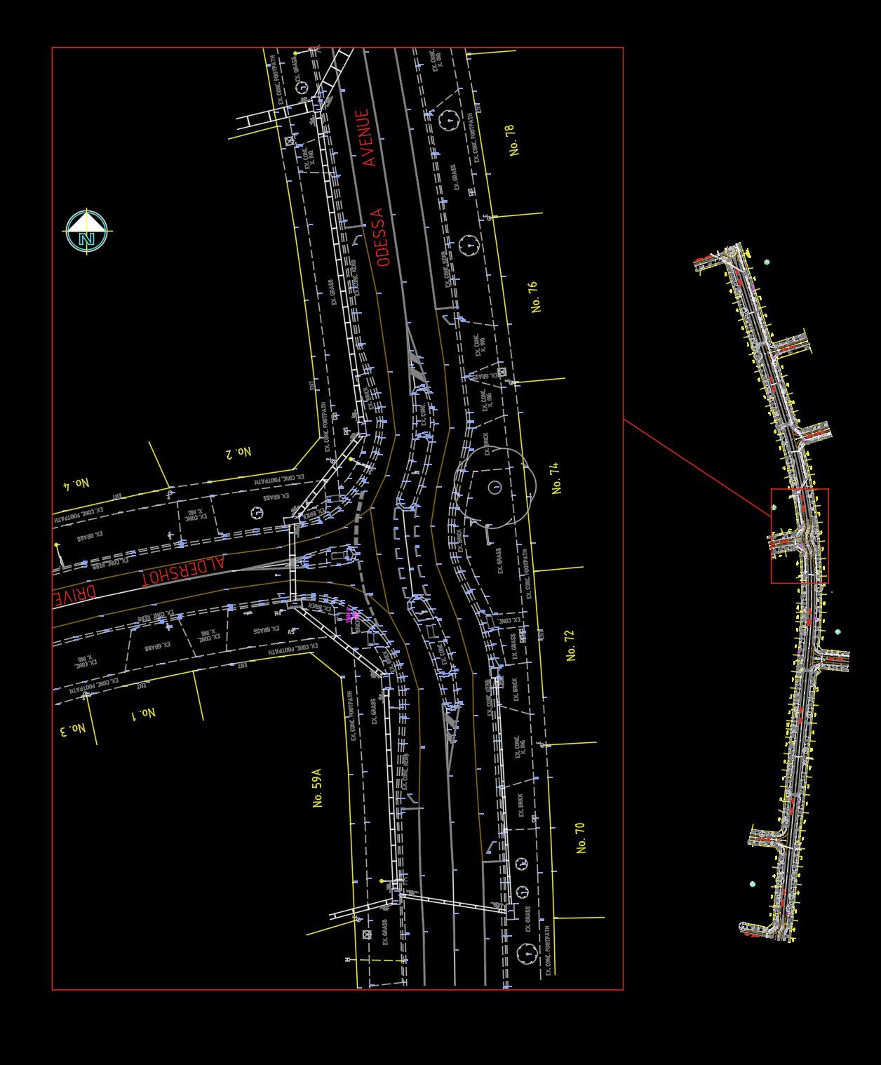
Road & Stormwater Drainage Survey
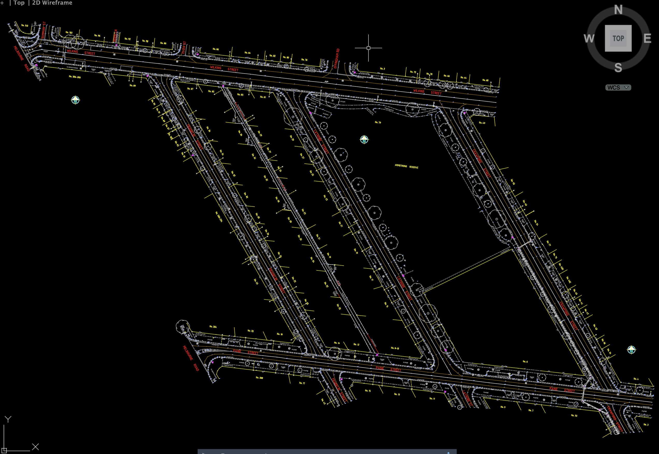
Road Network, Laneway & Drainage Survey
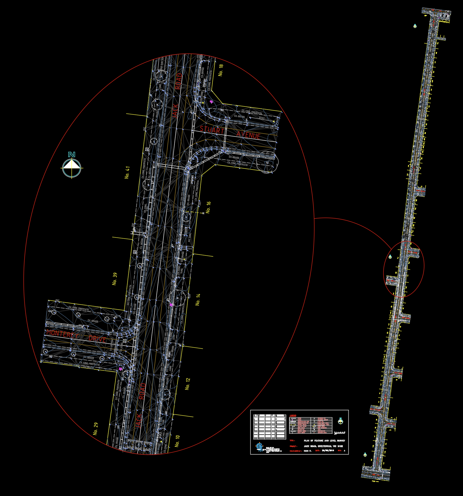
Road Corridor Feature & Drainage Survey
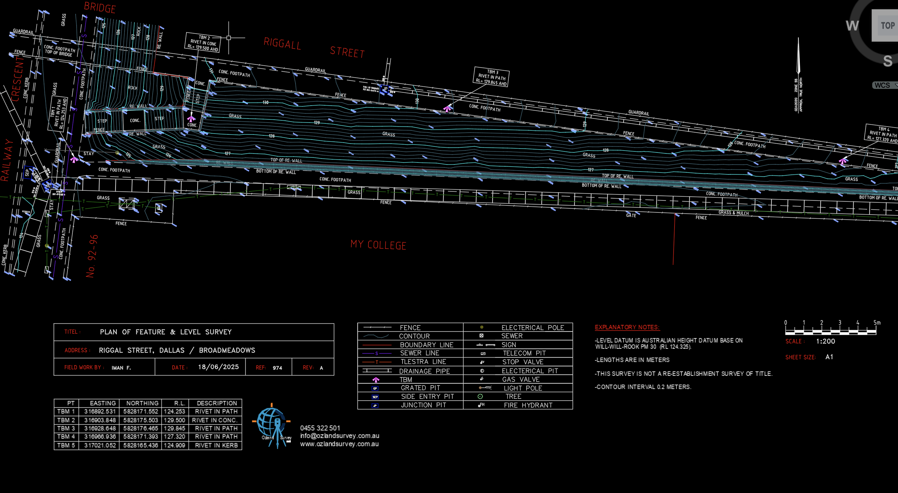
Drainage & Roadside Contour Survey