

Engineering & Civil Surveys
Ozland Survey provides professional engineering and civil surveying services for local councils, civil engineering consultants, infrastructure designers and contractors throughout Victoria.
Our surveys deliver accurate three-dimensional spatial information, ground levels and existing infrastructure details to support engineering design, road upgrades, drainage projects, civil construction and infrastructure development.
Scope of Survey
Depending on project requirements, our engineering and civil surveys may include:
- Road & Corridor Surveys: Detailed surveys of existing roads, intersections, road reserves and nominated survey corridors, including road surfaces, kerbs and channels, footpaths, crossovers and associated infrastructure.
- Civil Infrastructure Features: Identification and measurement of visible infrastructure, including drainage pits, sewer manholes, service covers, poles, signs, retaining walls and other relevant assets.
- Levels & Topographical Surveys: Collection of three-dimensional survey points, surface levels, contours and terrain information required for engineering design and analysis.
- Drainage & Service Information: Survey of accessible drainage pits, pipe invert levels and relevant surface service features, with underground service information incorporated where available or included in the project scope.
- Earthworks & Terrain Modelling: Collection and processing of survey data for existing ground surface models, triangulated surfaces and engineering design applications.
- Survey Control & Benchmarks: Establishment of survey control points and Temporary Bench Marks (TBMs), with coordinates and levels referenced to the specified project datum.
- Engineering Survey Corridors: Detailed surveys along proposed road, drainage, pipeline or other infrastructure alignments, including nominated offsets and survey intervals.
- Existing Structures & Site Conditions: Survey of retaining walls, fences, buildings, pavement boundaries, significant vegetation and other relevant features affecting engineering design.
Applications
Our engineering and civil surveying services support road reconstruction and upgrades, intersection improvements, footpath and streetscape works, stormwater drainage design, civil infrastructure upgrades, earthworks planning and engineering investigations.
We work with councils, civil and drainage designers, engineers and contractors to provide reliable survey information suited to project design requirements.
Survey Deliverables
Depending on the scope of work, deliverables may include:
- 2D & 3D AutoCAD drawings (DWG)
- PDF engineering survey plans
- 3D survey points and surface data
- Contour plans and spot levels
- Triangulated Irregular Networks (TIN)
- Digital Terrain Models (DTM)
- MGA / GDA2020 coordinates
- Australian Height Datum (AHD) levels
- Survey control and TBM information
- Drainage and infrastructure details
- Site photographs and supporting data
Engineering Design & Project Coordination
Our engineering surveys are tailored to the design requirements of each project, including specified survey boundaries, alignment offsets, measurement intervals and the level of infrastructure detail required.
By understanding the intended engineering application, Ozland Survey provides practical and accurate survey deliverables that integrate with CAD-based design and civil engineering workflows.
Examples of Completed Survey Projects
Examples of engineering and civil survey projects completed to support road design, car park improvements, stormwater drainage design and infrastructure works. The drawings also demonstrate three-dimensional terrain modelling, TIN surfaces, contours and road cross sections. Click on an image to view the full drawing.
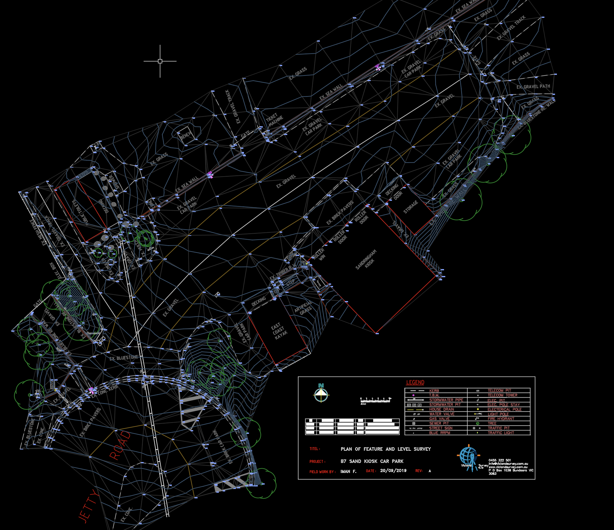
Engineering Survey for Car Park & Road Design
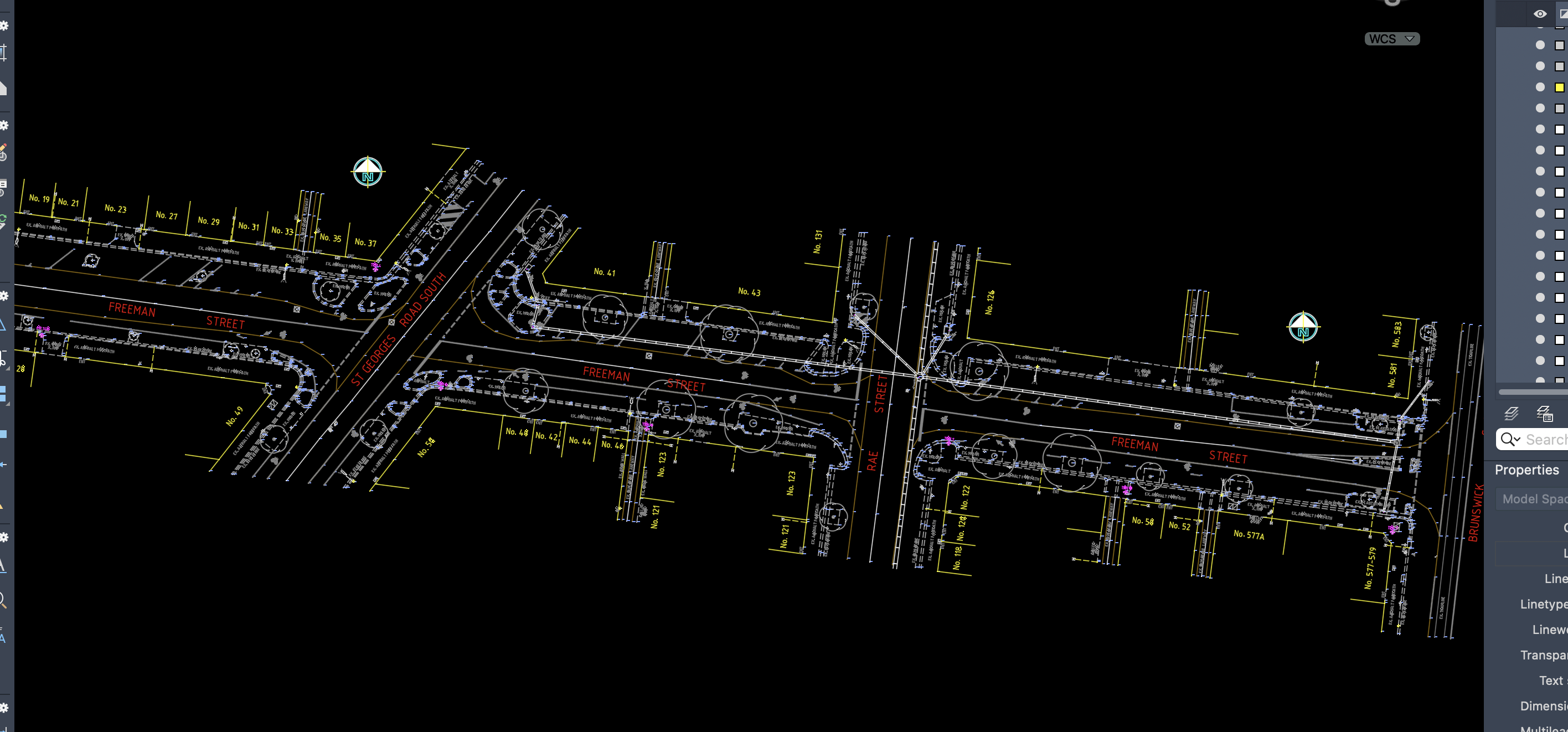
Road & Stormwater Drainage Design Survey
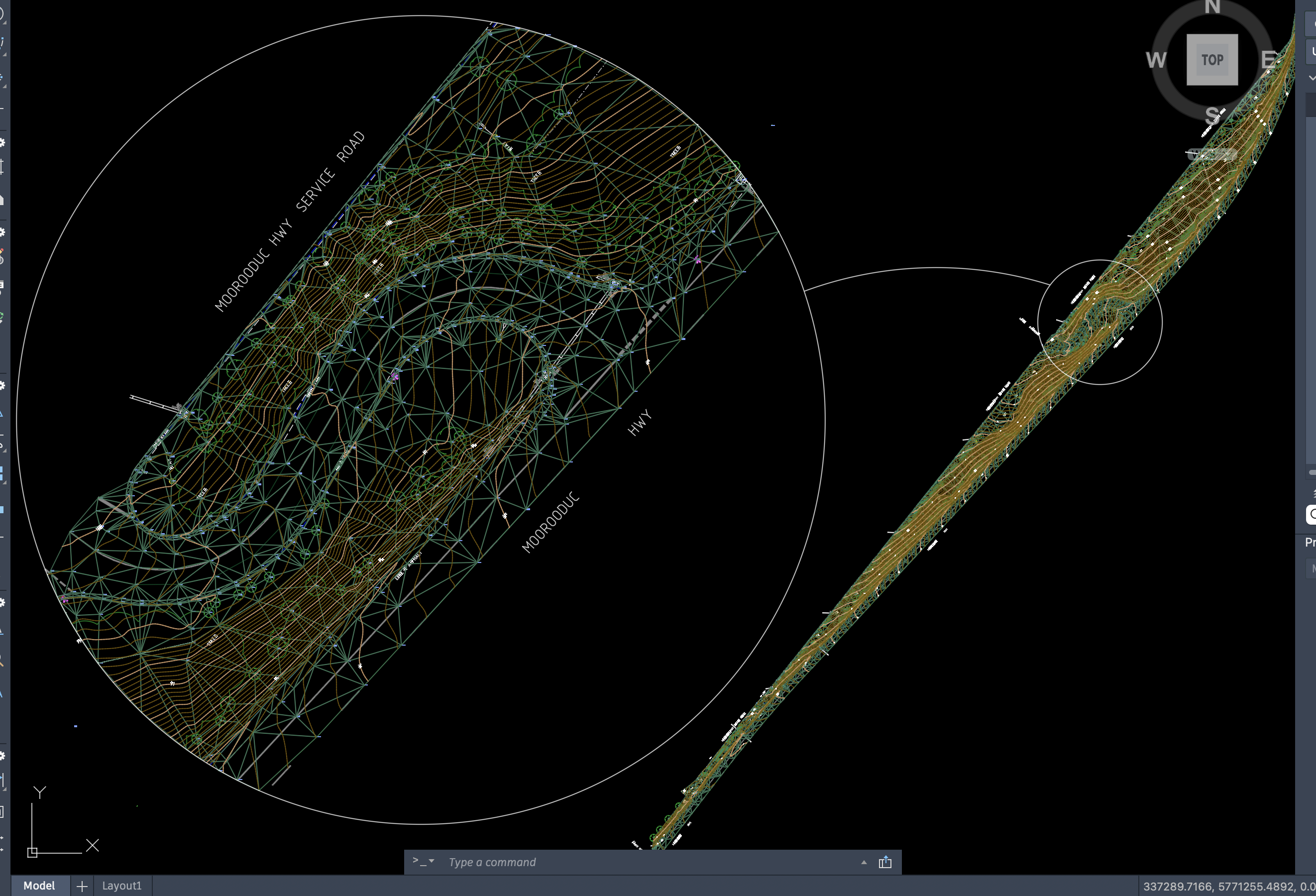
Road Corridor Survey with TIN & Contours
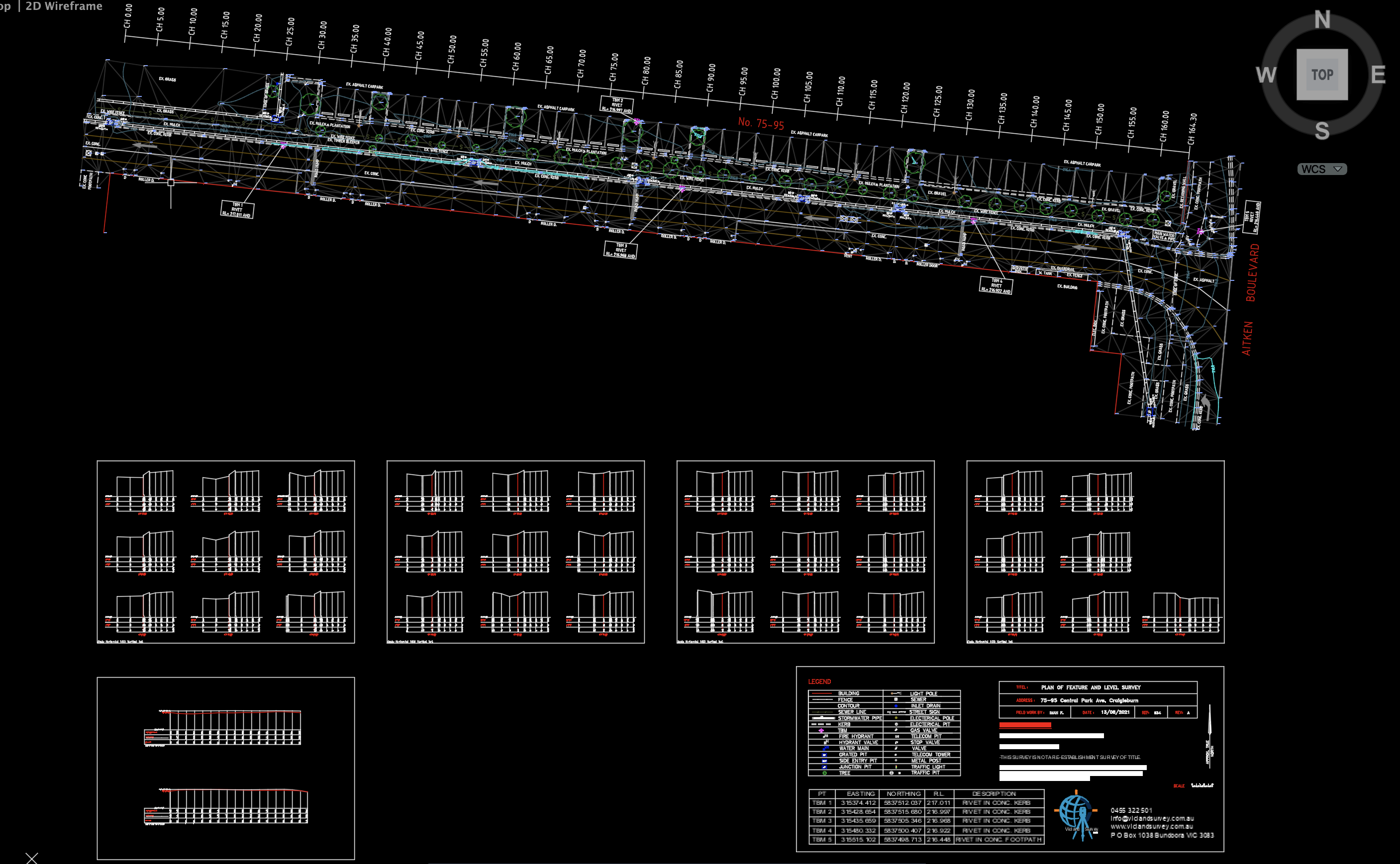
Road Engineering Survey with Cross Sections