

Title Re-establishment Surveys
Ozland Survey provides professional title re-establishment and cadastral boundary surveying services throughout Victoria, with cadastral surveys undertaken or supervised and certified by practising Licensed Surveyors.
A title re-establishment survey determines the legal boundaries of a property through the examination of registered title information, historical survey records, field measurements and evidence of existing occupation. This information is essential for property development, building design, construction and land management.
Scope of Survey
Depending on project requirements, our title re-establishment surveys may include:
- Title & Survey Research: Searching and examination of registered title plans, historical survey records, cadastral information and relevant easement details.
- Pre-Survey Computations: Review and analysis of existing title and survey information, together with preliminary cadastral calculations prior to fieldwork.
- Field Survey & Boundary Re-establishment: Field measurements and assessment of cadastral evidence to determine the legal title boundaries of the subject property and their relationship to existing fences, walls, structures and other evidence of occupation.
- Boundary Marking: Physical marking of re-established title boundaries and relevant survey marks where required.
- Post-Survey Computations: Analysis and verification of field measurements, cadastral evidence and survey calculations to finalise the re-established title boundaries.
- Survey Documentation: Preparation of certified cadastral survey plans, including a Record of Having Re-established a Cadastral Boundary (RE Plan), where applicable.
- Regulatory Compliance & Lodgement: Completion and lodgement of applicable statutory survey documentation in accordance with the Surveying Act 2004, the Surveying (Cadastral Surveys) Regulations 2025 and relevant Victorian cadastral surveying practice directives.
Applications
Title re-establishment surveys provide essential boundary information for a wide range of residential, commercial and property development projects.
Common applications include building design and construction near property boundaries, planning and redevelopment applications, fencing and boundary investigations, determination of building setbacks, identification of encumbering easements and assessment of the relationship between legal boundaries and existing improvements.
Survey Deliverables
Depending on the scope and statutory requirements of the survey, deliverables may include:
- Certified Title Re-establishment Survey Plan
- Record of Having Re-established a Cadastral Boundary (RE Plan), where applicable
- Title boundaries and relevant easements
- Boundary dimensions and survey measurements
- Relationship to existing fences and occupation
- Physical boundary marks, where required
- PDF survey plans and documentation
- Statutory lodgement, where required
Licensed Surveyor Certification
In Victoria, cadastral boundary surveys requiring licensed certification must be undertaken or supervised and certified by appropriately registered practising Licensed Surveyors.
Ozland Survey provides title re-establishment and cadastral surveying services through engaged Licensed Surveyors, ensuring that legal boundary determination, survey certification and applicable statutory requirements are completed by authorised professionals.
Examples of Completed Survey Projects
Examples of completed title re-establishment and cadastral boundary survey projects undertaken by Ozland Survey. Click on an image to view the full survey drawing.
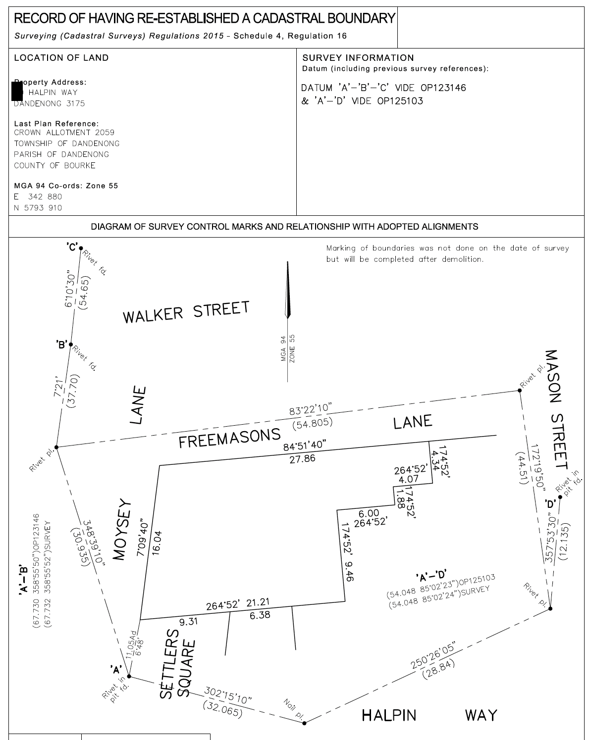
Cadastral Boundary Re-establishment Record
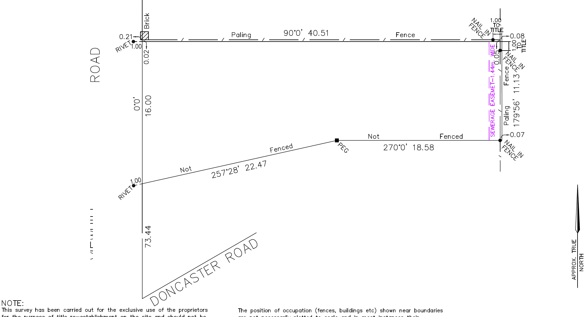
Title Re-establishment Survey
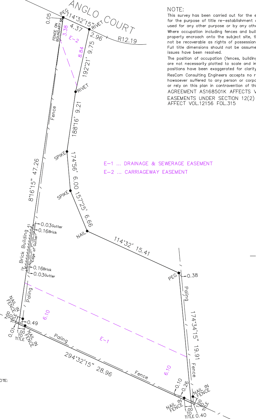
Title Re-establishment with Easements
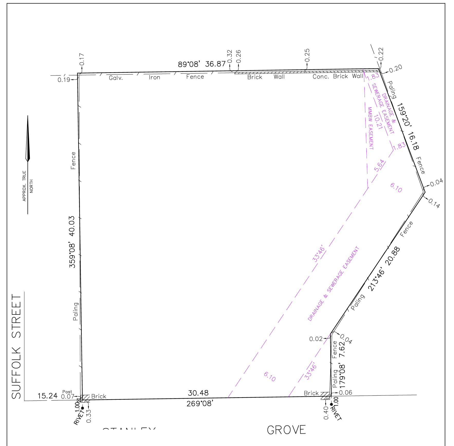
Title Boundary & Easement Survey